Making Rail Networks More Resilient with Satellite Insights
Climate change requires railway operators to make their networks more resilient and mitigate risks from weather events. This summer has been a wake-up call for many who had taken climate change lightly. The unprecedented heatwave swept over Europe and, in fact, the whole world. 42°C in London convinced many who, if not neglected, did not spend much time and energy on climate activism. Harsher weather conditions are here to stay.
According to scientists, things will simply get worse until 2060 because all action we take now has a delayed effect. Our weather for the next few decades has been determined by our societies’ actions in the past. Heat and floods are two symptoms of our ailing climate, storms are another.
This is a grim outlook indeed. We know storms will increase, putting stress on our infrastructure networks. Trees left, and right of the tracks pose a risk if in declining health. Large networks are hard to monitor on such a granular level from the ground, and carbon-intensive helicopter inspections arguably worsen the situation. Given the situation of us being stuck in this hot mess for the years to come – how do we deal with it? Technology is our best chance.
Satellite Data Is More Available than Ever
Satellite technology has come a long way. The commercialization of the space industry has brought us not only space tourism for billionaires but has also led to significant reductions in the cost of bringing payloads into orbit. This, in turn, has made it possible for a whole new industry of satellite operating companies to emerge. With the constellations of hundreds of satellites, companies like Planet labs or ICEYE capture raw imagery of every location on Earth every single day. Machine learning and cloud computing advances make it possible to use this data to solve problems in track maintenance.
Data-Driven Vegetation Management
LiveEO’s satellite-based vegetation management solution delivers the user value on three levels. First, they get an overview of all vegetation along their asset. The analysis includes the trees’ location, the canopy height, the vegetation species, and their vitality. Vegetation managers can better plan their budget and inspections based on this information.
On the second level, the software takes that information and combines it with risk models to determine the high-risk areas. This enables the operators to act on a condition-based rather than a cycle-based approach and minimize vegetation risk.
Thirdly, the product generates prioritized work orders based on the risk assessment. The whole analysis, including the work order, can be accessed via LiveEO’s intuitive web app, which requires no GIS knowledge. Managers assign work orders to field workers, who access them via LiveEO’s mobile app. They can use the app to navigate to the locations and document their work.
Ground Deformation Detection
Detection of ground deformation is another important application of satellite analysis for railway operators. Ground deformation is not visible to the naked eye but can cause significant damage to railway tracks and even lead to derailments.
Even slight elevation changes can be the first sign of seriously concerning events such as dam failures or landslides. Most research indicates that half of all train derailments are caused by bent or damaged rails. In the U.S., there are, on average, 3.7 derailments per day. In the EU, there were 68 such derailments in 2016. Not only are these derailments a cause of fiscal concern, but they also come with an increased risk to passengers.
To combat this problem, LiveEO utilizes satellite-supported radar data monitoring. SAR (Synthetic, Aperture, Radar) is the technology used for this process. It can cover massive areas and pinpoint problems down to millimeters. The method provides a comprehensive overview of larger areas and can detect trends to make railways safer and more reliable.
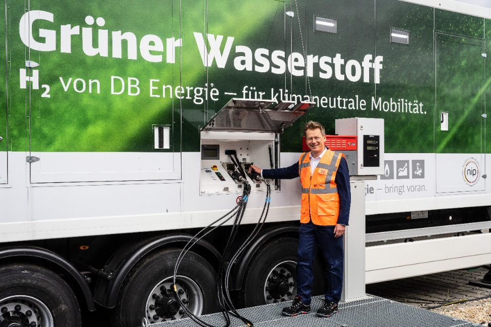
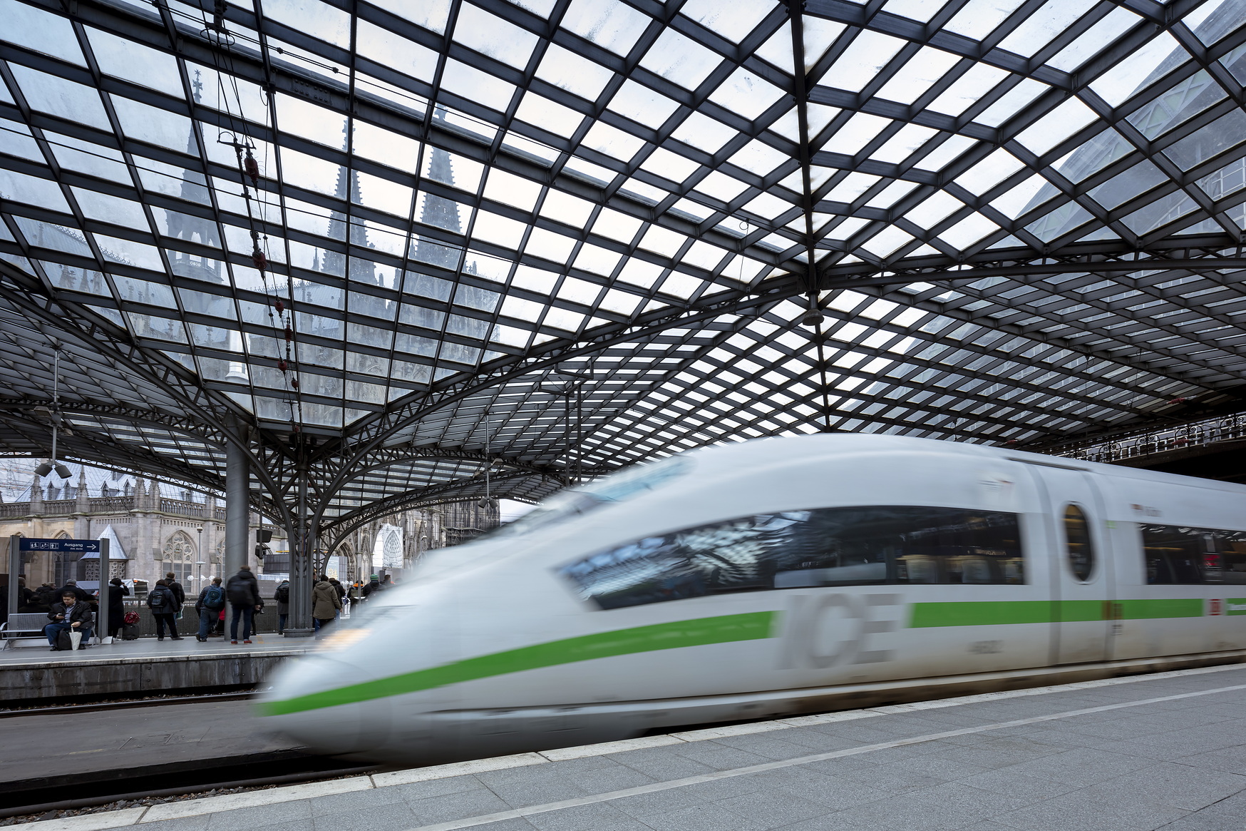
Monitoring 34,000km of Rail Network for Deutsche Bahn
LiveEO has worked with German railway operator Deutsche Bahn since 2018. Its 34,000 km rail network consists of a dense tree population, which has proven to be an essential factor in passenger and freight traffic operability.
Because of a lack of manual solutions to properly analyze the entire network quickly, and a lack of reliable data for determining the appropriate budget, strategy, and personnel management, LiveEO was commissioned to determine the number of track kilometers directly impacted by trees. For their innovative solution, LiveEO has been awarded Deutsche Bahn’s Supplier Innovation Award 2021.
This article was originally published by LiveEO GmbH.