Irish Rail is using drone imagery, AI and GIS to move from reactive inspections to network-wide vegetation intelligence – and one data analyst is leading the way.
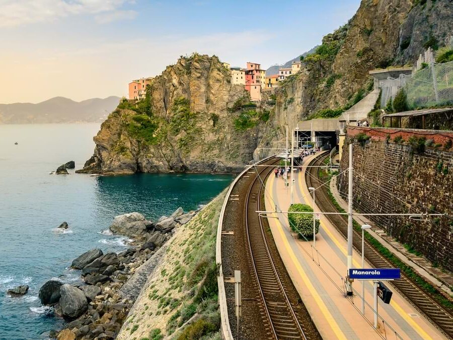
Running alongside much of Irish Rail’s 2,378-kilometre network are thousands of trees that, left unmanaged, pose a risk to safe operations by blocking sightlines, encroaching on overhead lines and in the worst cases, falling onto the track.

To avoid the delays, emergency closures and safety hazards these issues can cause, Irish Rail has long relied upon boots on the ground manual inspections. However, these can be slow, inconsistent and hard to scale across a network of this size.
The pressure on Irish Rail intensified with the spread of ash dieback. Unlike many tree diseases, this causes rapid structural failure with little visible warning, and an affected tree can fall without prior indication during a storm or high winds, giving maintenance teams no opportunity to intervene.
With EU regulations also tightening around biodiversity and environmental stewardship, Irish Rail knew that a reactive, inspection-led approach was no longer sufficient. The answer, it turned out, was already sitting in the network operator’s own data.
Using the Data That’s Already There
Irish Rail had accumulated a substantial library of high-resolution journey imagery that was detailed, georeferenced and largely untapped. Fabiola Costa, a data analyst in Irish Rail’s Data Analytics unit, saw what it could become.
FABIOLA COSTA, Data Analyst at Irish Rail, said:We had the imagery, but we didn't really know what we could do with it. That's where the idea for my project came from.
Costa’s project brought together three converging pressures: the growing ash dieback safety threat, Irish Rail’s broader shift towards data-driven infrastructure management – of which vegetation was the last remaining area still relying on manual surveys – and the opportunity to finally put that imagery library to work.
She pitched the idea of piloting a GeoAI-powered vegetation risk management system that could shift the railway from reactive emergency response to planned, scheduled maintenance, which management quickly approved.
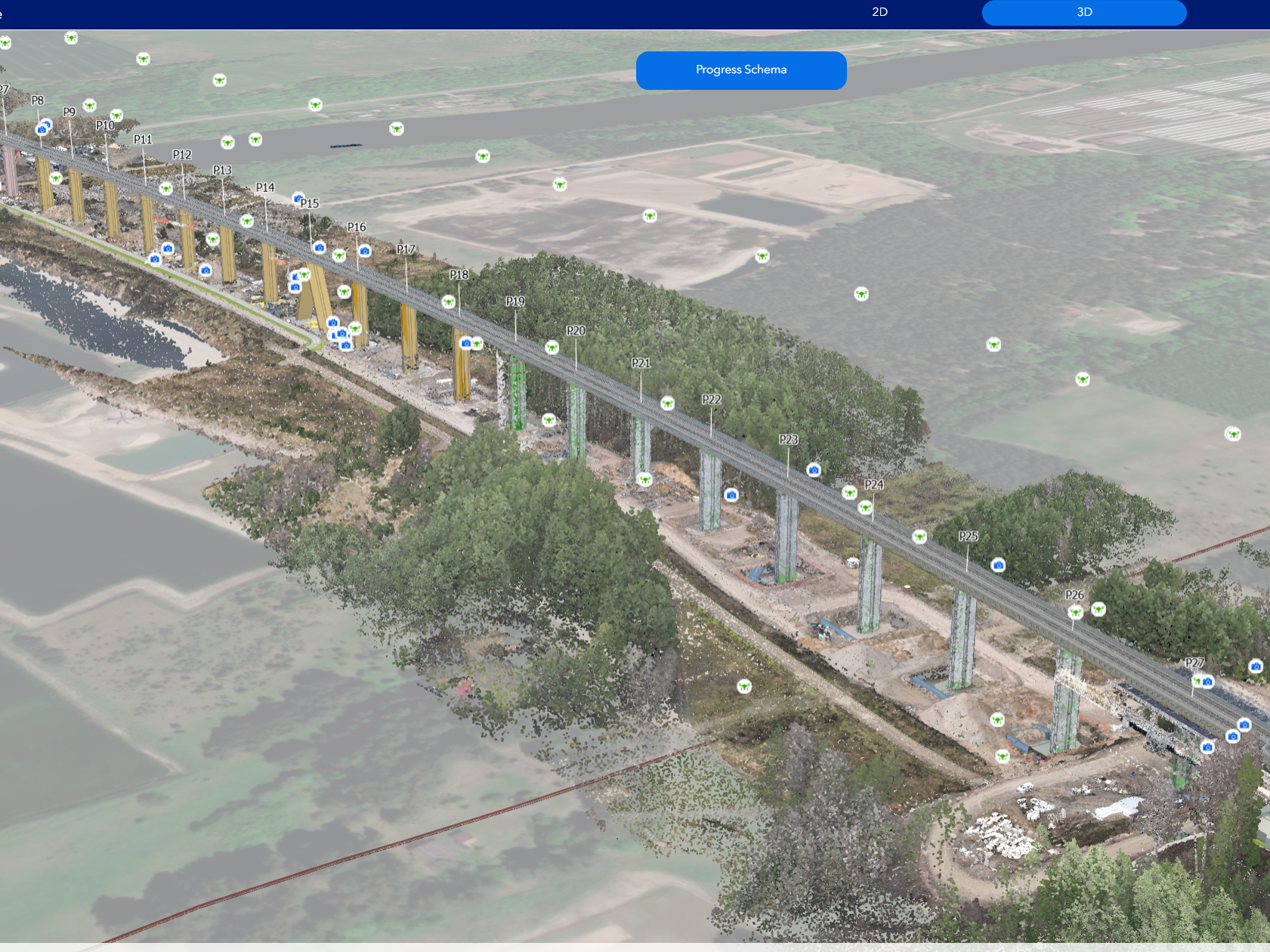
This system, built on Esri’s ArcGIS platform, was designed to analyse drone imagery at scale, identify at-risk trees and prioritise intervention.
For Costa, the platform choice came down to one thing: everything she needed was in one place.
FABIOLA COSTA, Data Analyst at Irish Rail, said:ArcGIS was the first platform that had the deep learning packages, Python and Jupyter Notebooks, etc all built in. Everything's in the same place, and for the work I'm doing, that's a huge benefit.
Starting Small, Thinking Big
The pilot began last December, and Costa expects the model to be validated by the end of this year. It centres on a 10-kilometre corridor, selected because it contained the full range of conditions the model would eventually need to handle: different stages of ash dieback progression, varying tree density and a mix of track-side environments.
Using multispectral drone imagery captured at high resolution, training data was generated by manually digitising 200–500 trees per health class. Costa used a convolutional neural network (CNN) architecture with transfer learning within ArcGIS Pro Deep Learning to perform inference and output a risk-scored tree inventory: a spatial map of which trees needed attention and how urgently.
Accuracy was set as a target of over 85%, and the way that figure is defined matters.
FABIOLA COSTA, Data Analyst at Irish Rail, said:We always work with error. A false positive means a healthy tree gets inspected unnecessarily. A false negative means an at-risk tree gets missed. We designed the model to minimise false negatives, even if that means more inspections than strictly necessary. When it comes to safety, that's the right trade-off.
Closing the Loop
But detection alone isn’t enough. One of the core design principles of the system is that AI output must feed directly into operational action, and that field teams must be able to feed their findings back into the model.
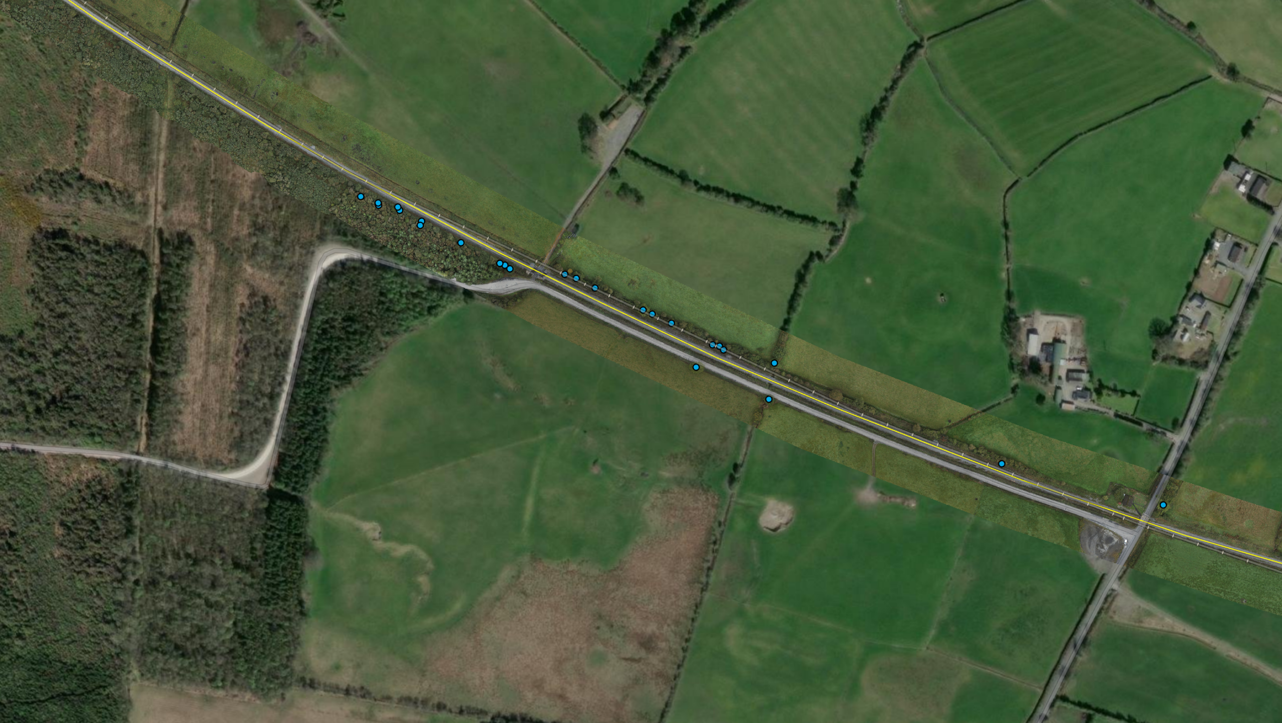
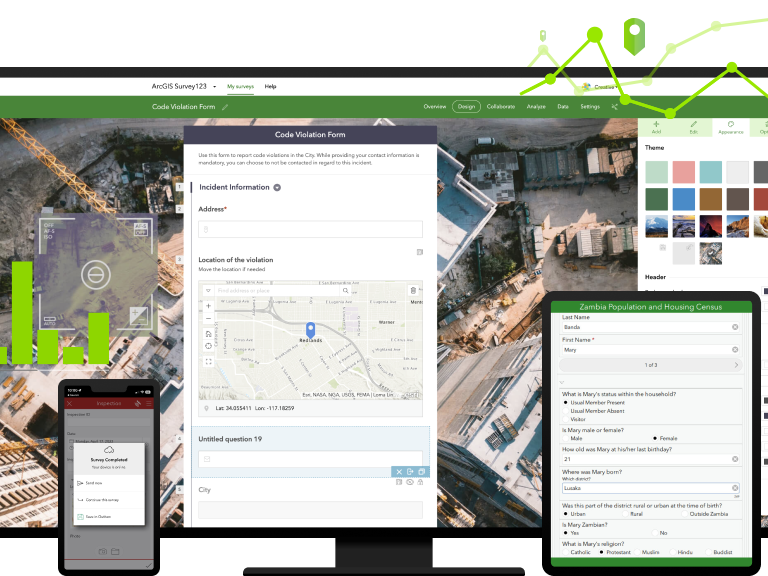
When the CNN flags a tree as ‘at-risk’, field teams receive the location via ArcGIS Field Maps, inspect it on the ground and record what they find. That verified data is then used to retrain the model, improving its accuracy with every cycle.
FABIOLA COSTA, Data Analyst at Irish Rail, said:It's not just about what the AI can see. The field teams are part of the system. Their knowledge makes it better.
The integration with Field Maps also addressed one of the most common barriers to GIS adoption: the fear of duplicated work. When Costa demonstrated that changes made in their existing operational app were automatically reflected in ArcGIS, the scepticism eased.
FABIOLA COSTA, Data Analyst at Irish Rail, said:Once they could see it, they got it.
Just the Beginning…
The pilot is only the beginning. Costa’s roadmap sets out three phases: ash dieback detection on the 10km corridor, network-wide deployment across all 2,378km, and ultimately comprehensive bioecological monitoring capability covering all tree species, invasive plant tracking, habitat assessment and carbon accounting.
That final phase is where EU regulatory pressure becomes a driver as much as an operational one. Irish Rail faces compliance obligations under the EU Biodiversity Strategy 2030 and the Nature Restoration Law, and the vegetation data being built today will form part of the evidence base for meeting them.
Vegetation management is also one layer within something larger. The data feeds into iTRAK, Irish Rail’s broader digital asset management programme, which is building towards a full GIS-based digital twin of the network.
FABIOLA COSTA, Data Analyst at Irish Rail, said:The wider picture is infrastructure management and building something that can really tell you what is happening across the whole railway. When you bring together environmental science, AI and public infrastructure, you can do so much more than maintain trees. Biodiversity monitoring, carbon counting, climate adaptation – with GIS and AI, all of this is possible.
A Model for Others to Follow
Irish Rail is, by its own admission, at an early stage of its GIS journey. But that, says Ian Koeppel, Transportation Business Development Manager at Esri Europe, is precisely what makes it valuable.
IAN KOEPPEL, Transportation Business Development Manager at Esri Europe, said:Irish Rail shows that you don't need to be at an advanced stage of digital transformation to start generating real value from GIS. Start with a focused problem, demonstrate what's possible, and the case for going further captures broader support.
Costa has already seen momentum build. Presentations at Esri’s IMGIS conference in Frankfurt and an invitation to represent Dublin at the Smart Cities World Forum have brought her work to a wider audience, accelerating interest internally.
FABIOLA COSTA, Data Analyst at Irish Rail, said:Everything's coming together now. I can see that the work is being recognised, and that we can add so much value.