Expanding the Value of GIS Technology
Esri is the global leader in GIS technology. Since 1969, we have helped organizations of all sizes unlock the full potential of data to remain agile, improve services, and meet new challenges. Today, Esri® software is deployed in more than 350,000 organizations, including all the Class I railroads and major short line holding companies.
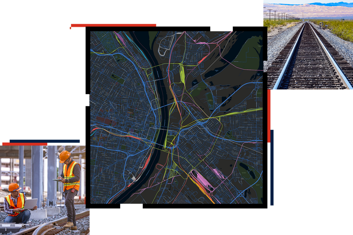
Expanding the use of Esri’s geographic information system (GIS) technology in each business unit, you have the opportunity to lead a new age of rail. By taking advantage of the data you use to manage your positive train control (PTC) system, you can tap into GIS capabilities such as spatial analytics, emerging technologies, field mobility, and cloud-based solutions to increase efficiency.
You can use GIS to:
- Leverage your ERTMS or PTC investment.
- Protect public and employee safety.
- Streamline rail operations.
- Enable commercial growth.
- Achieve environmental sustainability.
Leverage Your PTC Investment with GIS
Maximize the value of your PTC investment by utilizing GIS to establish a comprehensive system of record. With PTC data as the source of truth, ensure accuracy, streamline processes, and optimize data utilization. GIS seamlessly integrates with existing systems, preserving functionality and expertise.
Protect Public and Increase Employee Safety with GIS
Spatial awareness is key for ensuring safety in the railroad environment. GIS enables analysis of historical data to understand risk patterns. Integration with GPS tracking allows real-time monitoring of equipment and trains in relation to public areas, ensuring safety for employees and communities.
Streamline Rail Operations with GIS
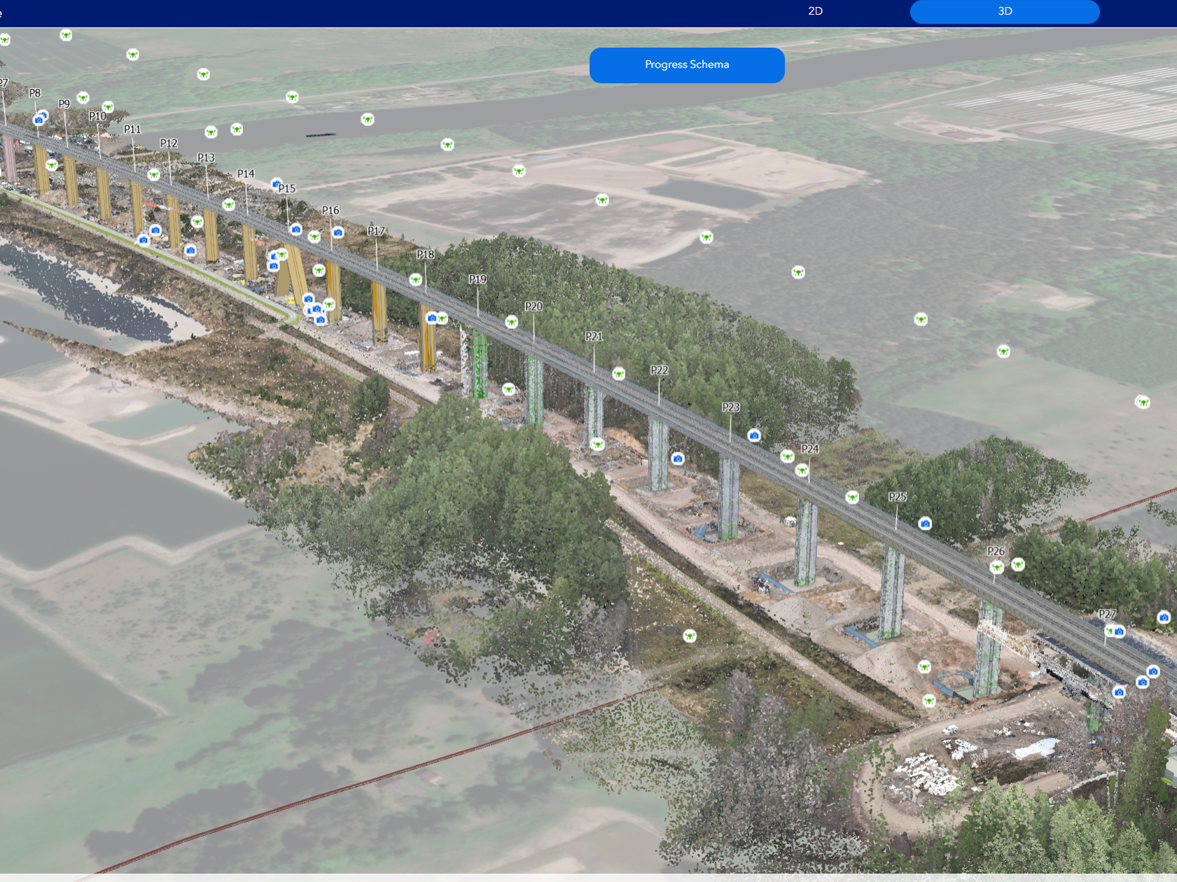
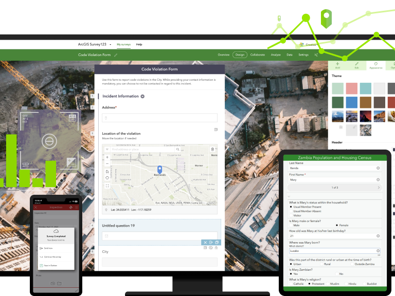
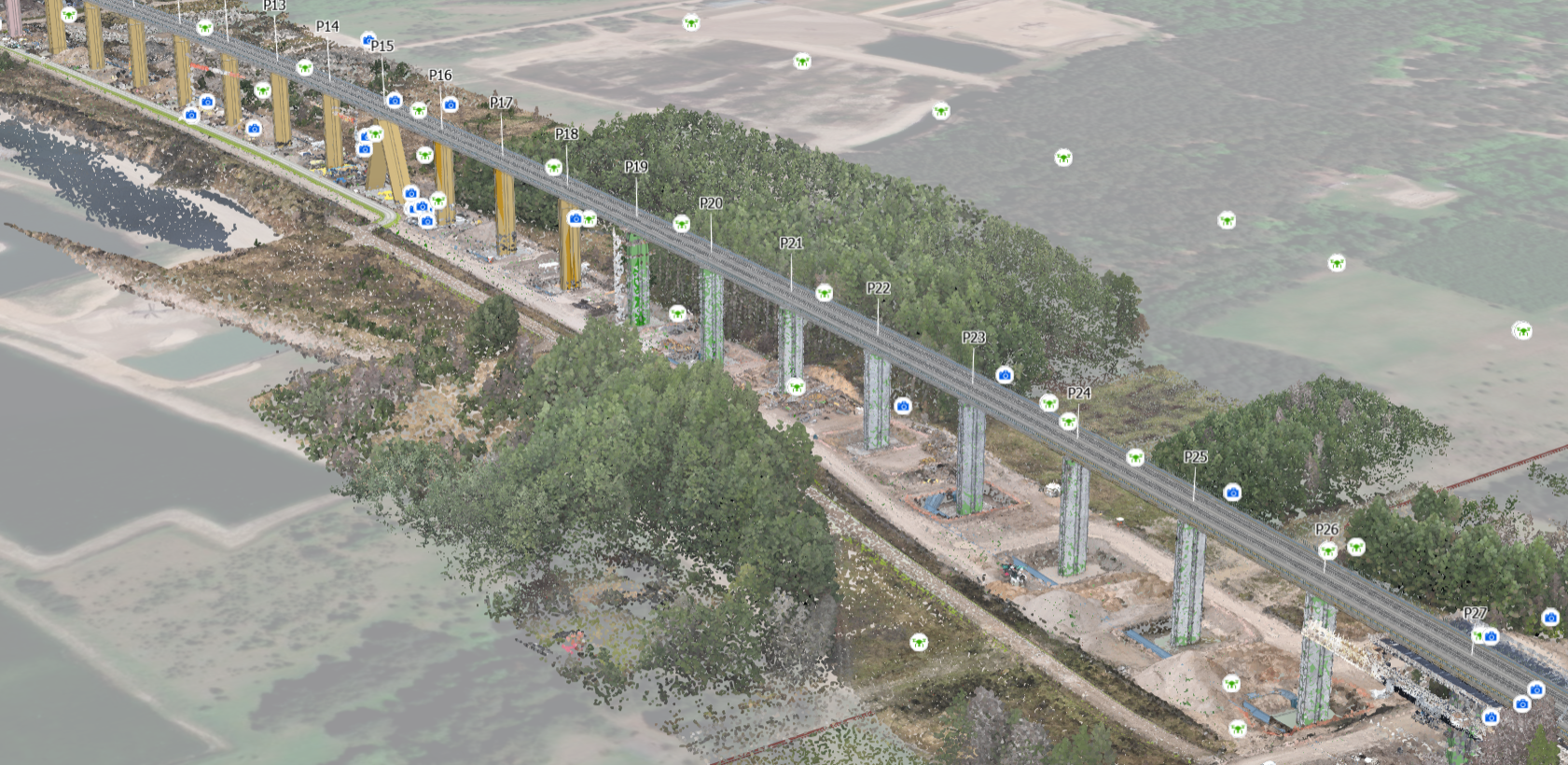
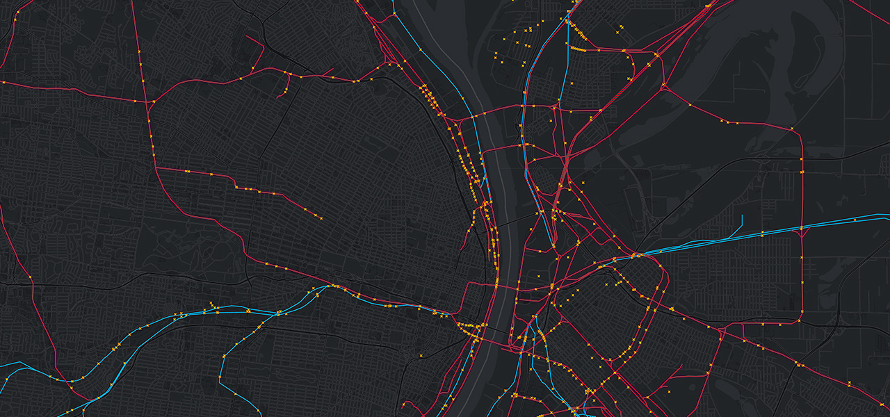
GIS serves as the foundational technology for integrating emerging technologies. It provides a unified operating picture by integrating data from drones and lidar, facilitating dynamic routing and real-time tracking of assets. Transitioning KPIs onto interactive maps enhances visibility into network issues and accelerates work order management.
Drive Commercial Growth with GIS
Leverage GIS to identify commercial opportunities and demonstrate cost savings compared to trucking. Spatial analytics pinpoint optimal shipping routes and target industries for expansion. Analyzing demographic data helps understand customer needs and develop infrastructure for growth.
Achieve Environmental Sustainability with GIS
Proactively address environmental concerns with GIS by integrating environmental, operational, and engineering data. Develop comprehensive plans for resource management and emergency response. Spatially enabled data enhances situational awareness, improving safety and recoverability outcomes for teams and communities.
Esri provides the technology to bring a spatial aspect to your data to allow you to achieve actionable intelligence that can transform the way you do rail. Incorporating GIS across your departments will give new insights to transform the way business is conducted and increase competitiveness in services.