
Latest Esri News
-


In Australia’s Fastest-Growing City, a Digital Twin Guides Rail Expansion
In 2023, Esri provided cutting-edge GIS technology to create a living digital twin that supported Brisbane’s first underground railway.
-

France Inspects and Maps 45,000 Bridges to Prioritize Repairs
Esri shows how Cerema identified and mapped municipal bridges across France using GIS technology to support infrastructure planning.
-
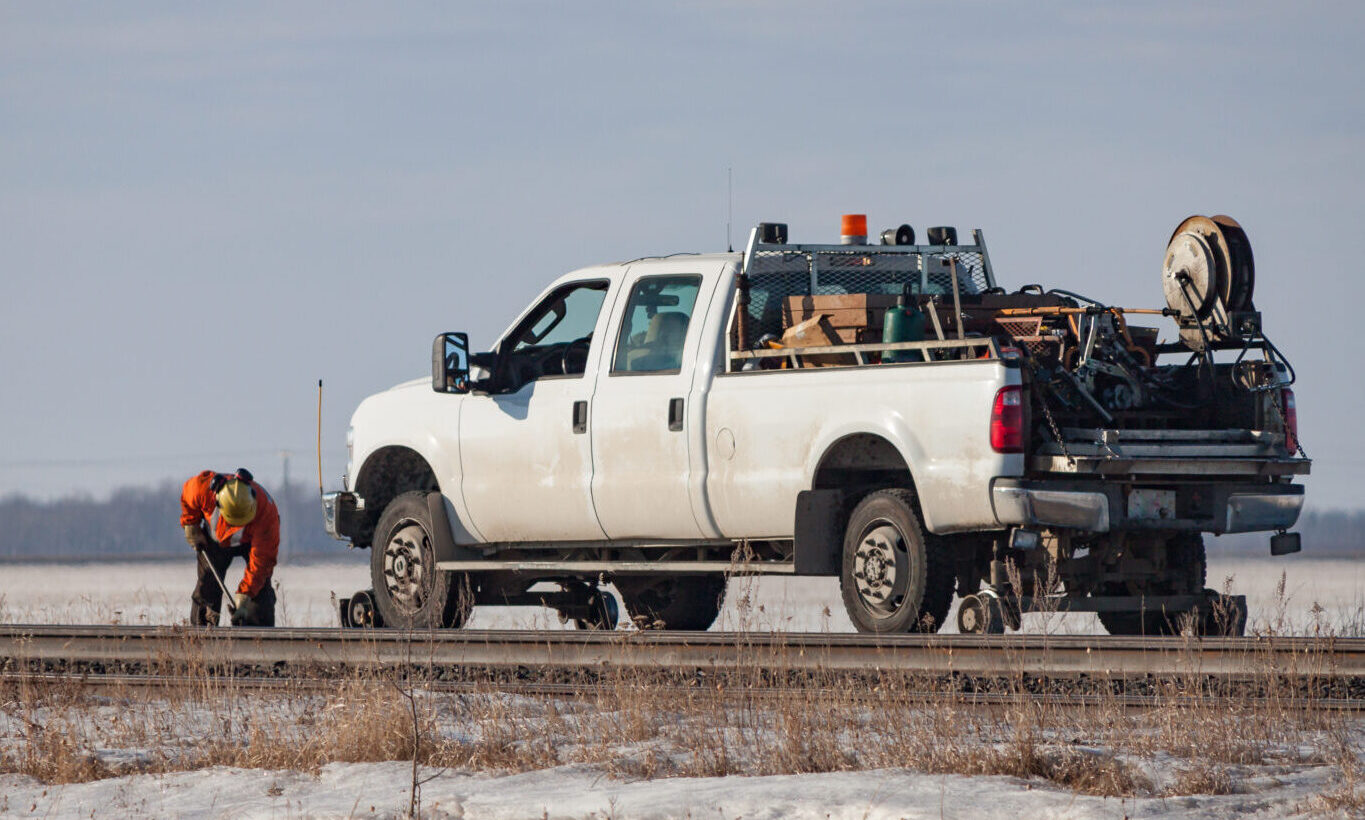
5 Interesting Applications of GIS in Rail
Erik Henderson from Esri covers five interesting applications of GIS in rail to improve safety, increase efficiency, and reduce costs.
-
The Netherlands: Improving Transport Infrastructure
Discover how ProRail leveraged digital twins and Esri's GIS technology to transform transport infrastructure in the Netherlands.
-
How Do You Navigate Esri Mobile Apps? K.I.S.S.!
Erik Henderson from Esri covers Portal for ArcGIS and using the K.I.S.S. approach for efficient mobile app navigation and updates.
-
How GIS Is Becoming Essential for Railways
Esri's GIS solutions help to transform railway operations, unlocking new possibilities beyond traditional mapping.
-
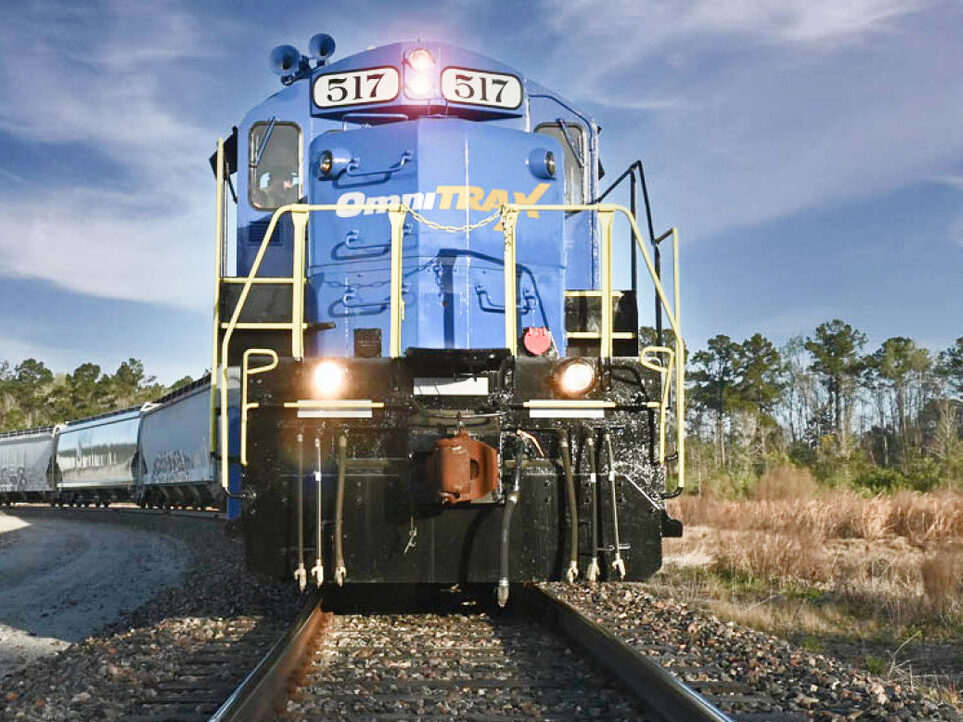
OmniTRAX Uses GIS to Enhance Services
OmniTRAX uses Esri's GIS technology to improve operational efficiency, enhancing both services and decision-making.
-

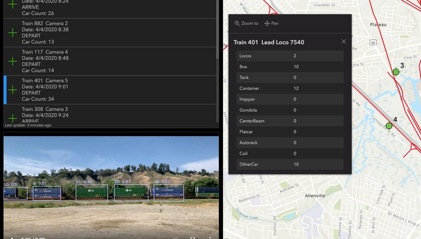
GIS Is Tracking the Construction of California’s High-Speed Rail
This case study from Esri details how the California High Speed Rail Authority adopted ArcGIS technology to track project activities.
-

Crossrail: Improving Efficiency in a Complex £15 Billion Construction Project
In 2016, Crossrail utilised Esri’s ArcGIS geographic information system to efficiently record and manage the project.
-
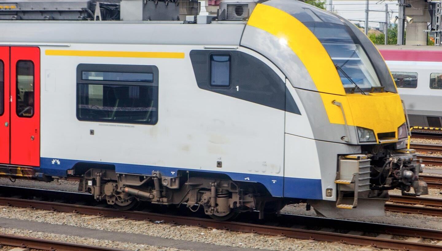
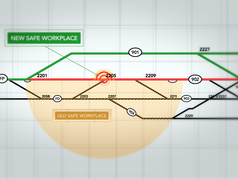
Belgian Rail Company Re-Envisions Worker Safety
Belgian government agency Infrabel developed robust geospatial technology to address the key concern of rail worker safety.