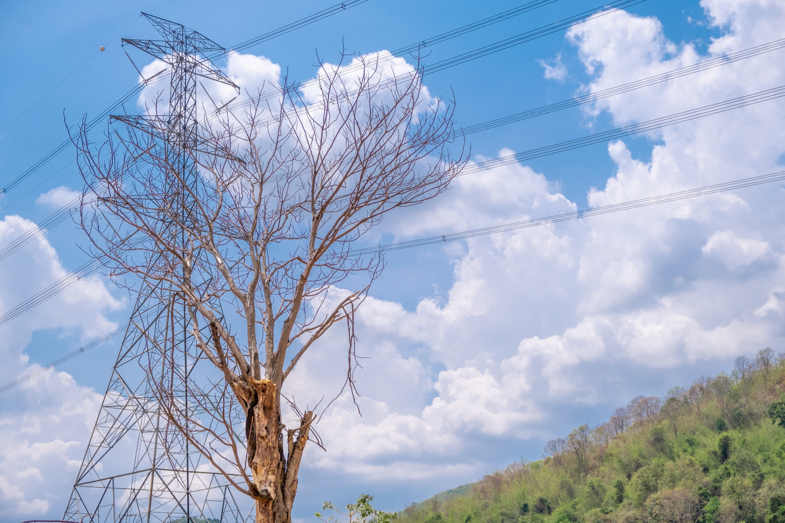
In the complex world of utility vegetation management, ensuring the safe and reliable delivery of electricity stands as a critical priority. Vegetation managers face the daunting task of maintaining vast networks of power lines amidst a myriad of natural and human-induced challenges.
From rapid vegetation growth and unpredictable weather patterns to regulatory compliance and environmental considerations, traditional methods of vegetation monitoring and management often prove inadequate. In this article, we delve into the key challenges faced by utility vegetation managers and explore an innovative solution that leverages satellite intelligence to transform vegetation management practices.
1. Monitoring Expansive Infrastructure
Challenge: Overhead power lines span vast and often inaccessible regions. Traditional ground-based monitoring methods are not only time-consuming but also pose significant logistical challenges. Ensuring consistent and thorough inspections across such extensive distances is nearly impossible with manual methods alone. Missed inspections or overlooked areas can lead to undetected vegetation growth, which poses a risk of contact with power lines, potentially causing outages or fires.
Solution: Satellites can provide consistent, wide-area coverage that is impossible to achieve with ground-based methods alone. High-resolution imagery ensures that every kilometer of overhead lines is monitored regularly. AI algorithms can automatically detect vegetation encroachments, prioritize areas for intervention, and even predict future risks based on growth patterns. This ensures thorough, consistent monitoring and reduces the likelihood of missed inspections.
2. Non-Actionable Insights
Challenge: The traditional cycle of manual inspections, data collection, and subsequent analysis can create significant delays in obtaining actionable insights. By the time data is analyzed and reported, the vegetation conditions may have already changed, rendering the insights obsolete. This delay hinders the ability to take proactive measures, forcing managers into a reactive stance where they are constantly addressing problems after they arise rather than preventing them.
Solution: Satellite intelligence provides real- or near-real-time data, allowing for immediate analysis and action. AI can process this data swiftly, delivering timely insights that enable proactive management. Managers receive alerts about potential issues as they are detected, allowing for quick responses. This capability ensures that vegetation conditions are continuously monitored, and risks are addressed before they escalate, shifting the approach from reactive to proactive.
3. High Operational Costs with Constrained Budget
Challenge: Managing vegetation involves extensive costs due to the need for regular inspections, specialized equipment, and skilled labor. Manual inspections are labor-intensive and time-consuming, requiring significant travel, especially in remote areas. The cost of deploying personnel and equipment repeatedly over large territories quickly accumulates. Budget constraints add pressure, forcing managers to prioritize certain areas over others, potentially leaving some regions under-monitored and increasing the risk of vegetation-related issues.
Solution: Satellite intelligence offers a cost-effective alternative to frequent manual inspections. High-resolution satellite imagery provides comprehensive coverage, allowing for remote monitoring of vast areas. AI-powered analysis can identify potential issues such as overgrowth or encroachment, enabling targeted interventions. This reduces the need for frequent field visits, cutting down travel and labor costs significantly. Additionally, the scalability of satellite monitoring means that even expansive areas can be managed within a constrained budget.
4. Poor Contractor Management
Challenge: Vegetation management often relies on external contractors to perform critical tasks such as trimming and removing overgrowth. Poor contractor management can lead to inconsistent quality of work, delayed responses to emerging issues, and incomplete task execution. Without a reliable system to monitor and verify contractors’ work, it is challenging to ensure that all areas are adequately managed, increasing the risk of power outages, fires, or regulatory non-compliance.
Solution: By leveraging satellite data, managers can objectively assess contractor performance. Satellites can capture before-and-after images of managed areas, providing clear evidence of work done. AI algorithms can detect discrepancies and ensure that contractors adhere to standards. This objective oversight reduces the risk of poor-quality work and enhances accountability, ultimately improving risk management and reducing the likelihood of vegetation-related incidents.
5. Budget and Work Planning Difficulties
Challenge: Limited visibility into current vegetation conditions hampers effective budget and work planning. Managers need precise, up-to-date information to allocate resources efficiently. Without accurate data, forecasting future needs becomes speculative, leading to either overestimating (wasting resources) or underestimating (failing to mitigate risks). Seasonal changes, unexpected weather events, and varying growth rates of vegetation further complicate planning efforts.
Solution: Satellite data, combined with AI, offers real- or near-real-time visibility into vegetation conditions. AI can analyze historical data to predict future growth patterns and potential risks, providing managers with accurate, actionable insights. This predictive capability allows for better budget allocation and work planning, ensuring that resources are directed to areas that need them most. Managers can plan maintenance schedules proactively, reducing the risk of unexpected vegetation growth.
6. Managing Complicated and Fragmented Software Solutions
Challenge: The proliferation of software solutions for different aspects of vegetation management results in a fragmented technology landscape. Each tool may specialize in a particular function—such as data collection, analysis, or reporting—but lacks integration with others. This fragmentation forces managers to learn and manage multiple platforms, each with its interface, workflows, and data formats, creating inefficiencies and increasing the likelihood of errors.
Solution: Modern satellite intelligence platforms are designed to be comprehensive, integrating data collection, analysis, and reporting into a single interface. This consolidation simplifies operations, reducing the need to manage multiple software solutions. A unified platform enhances productivity, minimizes the learning curve, and reduces the risk of errors associated with using disparate systems. Managers can focus on strategic decision-making rather than navigating complex software ecosystems.
Conclusion
The challenges of high operational expenses, ineffective risk management, limited visibility, complicated software ecosystems, extensive monitoring needs, and untimely insights are significant barriers in vegetation management. However, the integration of satellite intelligence and AI offers robust solutions that address these challenges head-on. By adopting these advanced technologies, vegetation managers can enhance operational efficiency, improve safety, and ensure the reliability of essential infrastructure.
This article was originally published by LiveEO.